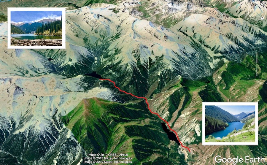
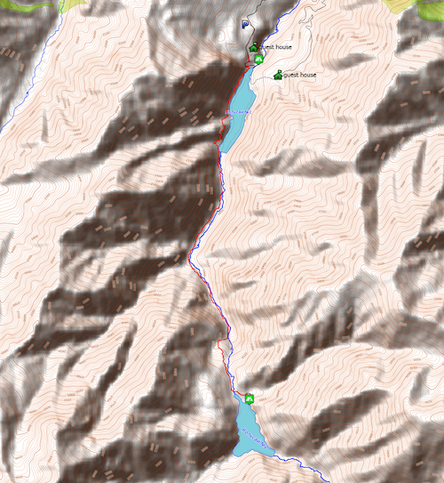
Location: “Kolsay Kolderi” National Park. First Kolsay Lake (start point) coordinates - 42.98443, 78.32479
Hiking distance/type: radial hike, 7.39km one way, forest path. Slope gradient: mostly 12.7% with few parts of 37.6%
Lowest point: 1839m ASL
Highest point: 2307m ASL
Season: April – October
More info can be found in Trekking Club free guide-book


