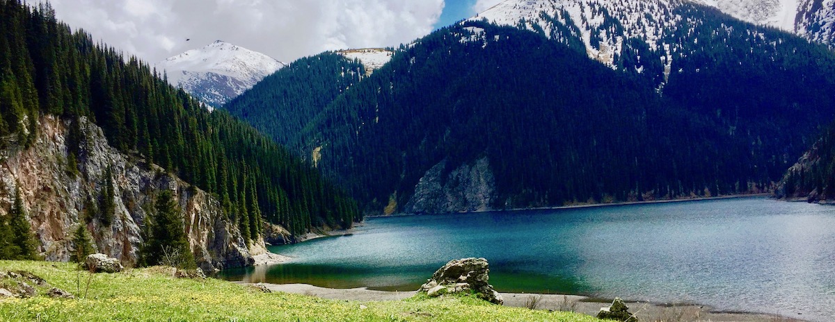
Hiking from the lake Kolsai-1 to Kolsai-2

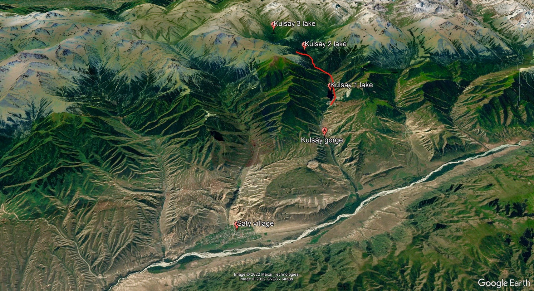
The Kolsay Lakes are called the pearl of Almaty region. This cascade of 3 mountain lakes are located in the Kolsai gorge, in the northern part of the Kungei Alatau ridge, northern Tien Shan. There 320 km from Almaty to the Saty village (NP entrance) to the east, so this trek is best combined with a visit to other interesting locations - such as Charyn Canyon and Lake Kaindy. Considering the distance, it can be really hard to reach the Second Lake in one day, havinf started from Almaty. So it is advised to split the trip and plan 2 - 3 days for it.
The infrastructure in Kolsai National Park is rather developed now, there are many campsites, hotels, cafes and guest houses near the Lake-1 and in Saty.
The hike starts at the First Lake (also called Saty) at an altitude of 1800m. The track follows its western shore, up the valley. The trail is very good; more than half of the way passes with a slight climb. Before the 2nd lake the slope increases (500m). You will definitely enjoy the wildlife: there are a lot of shrubs: various kinds of rose, cotoneaster with red and brown berries, red and black honeysuckle, currant of Meyer and raspberries. Blackberries, strawberries and bramble are often found in the riverside. Along the steep slopes the river flows as series of small waterfalls: in such places the rocks along the stream are covered with moss. Here you have a chance to see the famous blue bird. In sunny days the forest is full of twittering of various birds like nutcrackers, grouse birds – a rapid predator Sparrow hawk hunts them. In the evening or in very bad weather a real owner of this place appears – a bear. Walking to the second lake can take 3-4 hours. The Second Kolsai lake (middle) is also called Mynzhylgy - it has more than a kilometer in lenght and about 900 meters in width, located at an altitude of 2250m. From the shores the high peaks of Kungei Alatau are visitble.
There is no infrastructure at the Second Lake, and if you want to spend 1-2 nights here, then make sure to take camping equipment with you. The descent back goes along the same path and can take 1.5-2 hours.
You may also refer to the brief description of this hike with coordinates
| Season |
April - October |
| Distance one way |
7.35km |
| Ascent/eleveation |
470m |
| Descent |
450m |
| Highest point |
2250m |
| Lowest point |
1800m |
| Trekking time |
5-6 hours |
| Difficulty |
moderate |

